Airports
Airports for iOS and Android
Airports is an airport directory for iOS and Android that allows pilots to plan upcoming flights. It is packed with useful features to offer a complete package.
Discover the featuresKey Features
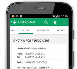
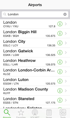
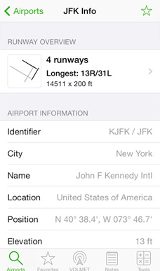
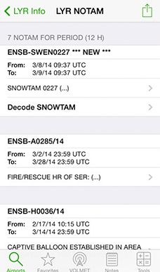
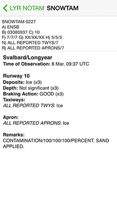
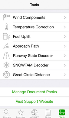
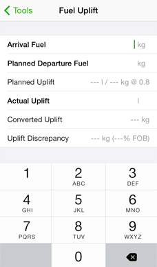
An airport directory for your flight bag, with a world wide VOLMET station list, NOTAMs, SNOWTAM decoder, METAR and TAF reports, Favorites, Tools, and the ability to save your own notes for those airports you visit frequently.
Get in touch
If you have any questions, feature suggestions or bug reports, please get in touch. We’d love to help you out in the best way possible. For quick help, you might find an answer to your question on our FAQ page.
Stay up to date on the latest developments through our social channels.

